Geographic Data Science - Lecture III
Spatial Data
Dani Arribas-Bel
“Day 1”
Introduced the (geo-)data revolution
- What is it?
- Why now?
The need of (geo-)data science to make sense of it all
Today
- Types of (geo-)data: refresher
- Traditional and new sources of spatial data
- New ways for traditional approaches
Representing the World Digitally
GIS Data Models
Traditionally, geographic information is represented as:
Vectorfinite set of entities (shapes/geometries)Rasterimages encoding surfaces (values, colours, etc.)
Vector
|
|
|
Raster
|

|
Good old spatial data
Good old spatial data
[source]
Good old spatial data (+)
Traditionally, datasets used in the (social) sciences are:
- Collected for the purpose –> carefully designed
- Detailed in information (“…rich profiles and portraits of the country…”)
- High quality
Good old spatial data (-)
But also:
- Massive enterprises ("…every single person…) –> costly
- But coarse in resolution (to preserve pricacy they need to be aggregated)
- Slow: the more detailed, the less frequent they are available
Examples
- Decenial census (and census geographies)
- Longitudinal surveys
- Customly collected surveys, interviews, etc.
- Economic indicators
- …
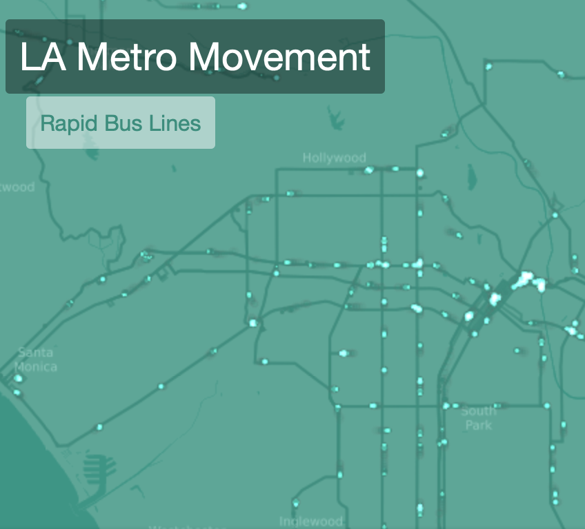
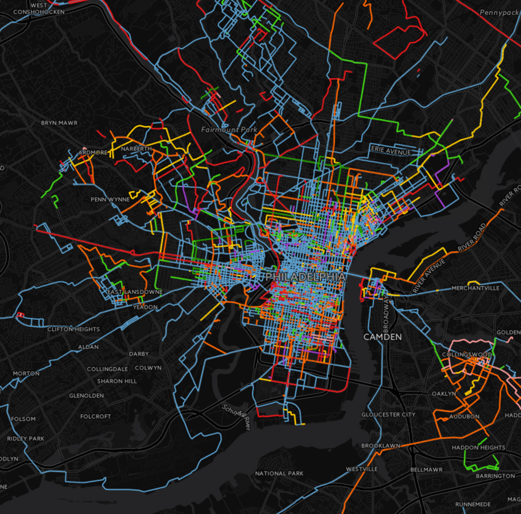
New sources of (spatial) data
New sources of (spatial) data
Tied into the (geo-)data revolution, new sources are appearing that are:
- Accidental –> created for different purposes but available for analysis as a side effect
- Very diverse in nature, resolution, and quality but, potentially, much more detailed in both space and time
Different ways to categorise them…
Lazer & Radford (2017)
- Digital life: digital actions (Twitter, Facebook, WikiPedia…)
- Digital traces: record of digital actions (CDRs, metadata…)
- Digitalised life: nonintrinsically digital life in digital form (Government records, web…)
Arribas-Bel (2014)
Three levels, based on how they originate:
- Bottom up: “Citizens as sensors”
- Intermediate: Digital businesses/businesses going digital
- Top down: Open Government Data
Opportunities (Lazer & Radford, 2017)
- Massive, passive
- Nowcasting
- Data on social systems
- Natural and field experiments (“always-on” observatory of human behaviour)
- Making big data small
Challenges (Arribas-Bel, 2014)
- Bias
- Technical barriers
- Methodological “mismatch”
Old/New, raster/vector…
Old/New, raster/vector…
Traditional approaches to represent the world in a computer are blending thanks to new forms of data
Keep an open mind to tools, approaches, and methods

Geographic Data Science’19 by Dani Arribas-Bel is licensed under a Creative Commons Attribution-ShareAlike 4.0 International License.