Web Mapping & Analysis
Data Architecture & Formats
Dani Arribas-Bel
Today
- Spatial Data
- Spatial Data Formats
- Selecting the right format
Spatial Data
How we represent the world in a computer
- Vector
- Raster
Vector
Represent each entity with a shape or geometry. Simple features:
- (Multi-)Points
- (Multi-)Lines
- (Multi-)Polygons
Divide space into a finite set of entities
Raster
Use an image and control pixel colors to encode value
The value assigned for each cell represents the attribute of that cell
- Continuous variables, surfaces (temperature, density, elevation…)
- Satellite images (land cover, land use…)
![[Source]](https://upload.wikimedia.org/wikipedia/commons/0/05/CubeSat_in_hand.jpg)
Spatial Data Formats
Spatial Data Formats
In principle…
- Points, lines, polygons –> Vector formats
- Images, surfaces –> Raster formats
But these boundaries are blur…
Traditionally
Vector
- Single files: shapefiles, etc.
- Client-server (geo-)DBs: PostGIS, etc.
Raster
- Mostly (single) image formats: GeoTIFF, etc.
However…
Many of these formats were designed for an offline world, so display some of the following:
- Binary (“non-streamable”)
- “Unqueriable”
- Complex format structures
Modern formats
New formats have appeared in part “fixing” those issues, but also responding to web needs:
- Streamable (e.g.
GeoJSON) - Queriable (e.g.
PostGIS/Geopackage) - Single file (e.g.
.mbtiles)
Let’s explore a bit more on a couple of them…
GeoJSON
Advantages
- Plain text, (human) readable
- Streamable
- Well integrated with web standards (JSON)
Excellent exchange format
Disadvantages
- Plain text, inefficient
- Non-queriable
- Vector only
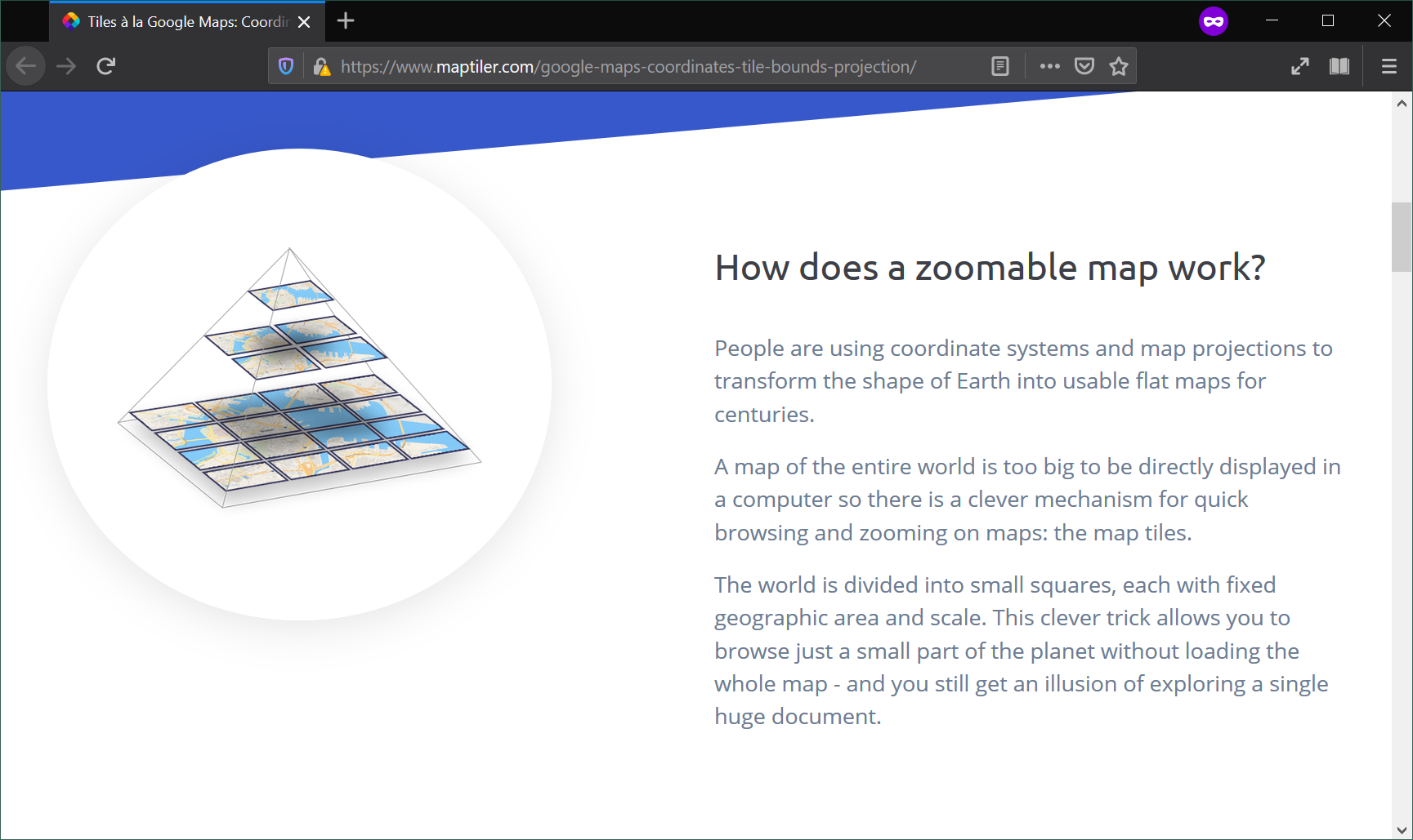
Tilesets (.mb/vtiles)
Map Tiles
Advantages
- Queriable (SQLite)
- Fast access to large maps with limited resources (client/server model + queriable format)
- Some (vector tiles) are stylable
Disadvantages
- Designed for serving not analysing
- A dataset needs to be stored at several zoom levels
- Once created, hard to modify (e.g. reproject)
Selecting the right format
Selecting the right format
No silver bullet…
- What type of data do you want to store? Vector, raster
- What are you going to do with the file? Analysis, serving
- What environment are you working? Locally, web
Quiz
- Large dataset of tweets you want to analyse
PostGIS/Geopackage - Drone imagery to make available for workshop participants
MBTiles - Street basemap to provide context to a small dataset you want to make available on the web
Vector tiles - The small dataset from 3.
GeoJSON

Web Mapping & Analysis by Dani Arribas-Bel is licensed under a Creative Commons Attribution-ShareAlike 4.0 International License.